

 Contact Us
 Travel Updates
 Request or View a Guide Online
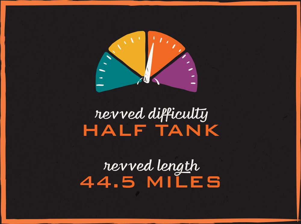
Ride to Stream Cliff
Retracing Morgan’s Raid
Revved Route
- West on Main Street into the heart of downtown
- Right on Rte. 7
- Left to stay on 7
- Left on Deputy Pike
- Right Rte. 3
- Right on 115W to Stream Cliff
- Reverse path back out on 115W
- Left on Rte. 3
- Left on 250
- Right on 7
- Right to stay on 7
- Left on Main Street and back through downtown Madison
Overview
This route is about 45 miles, and it traverses some of the prettiest, tree-shrouded roads in Southern Indiana. And perhaps best of all, the halfway turn-around point is Stream Cliff Farm, Restaurant and Winery, on the scenic bluffs of the Muscatatuck River. Stream Cliff features great food, a huge selection of plants for sale (in season), and a barn dance music venue on many Saturday nights.
Another cool feature to this ride is it covers some of the infamous Morgan’s Raid route, when a ragtag bunch of Confederate calvary invaded north of the Ohio River and ravaged through Indiana and Ohio, with hopes of causing a panic and diverting Union troops from the eastern battle fronts. It was pretty much a flop, and Morgan was eventually caught in Ohio, but it’s amazing to think about 1,500 troops, behind enemy lines, pillaging and terrorizing their way across the land. Famously, they broke into a storehouse in Dupont (right north of Madison) and stole 2,000 smoked hams! You’ll see little “Morgan’s Raid” signs on this route if you keep a sharp eye.
The terrain on this ride is not quite as hilly as the dramatic Serpent of 62, but it’s no less curvy and scenic. It follows ancient limestone stream beds down to the Muscatatuck River valley, so you’ll see plenty of sun-dappled roads and peaceful pools of water. This is a truly beautiful ride that should not be rushed!

Let’s Ride or Drive.
No matter how you want to find your way, we’ve got you covered. Download the GPX file or follow the turn-by-turn directions below
GPX files are used in App-based programs with navigation or Google Maps. A common app used is Relive.
Turn-by-Turn Directions
(Note: All odometers read slightly different, so the mileage stated here is meant to serve as a general guideline. But it should get you very close.)
0.00 Start
Start your adventure in Madison at the county courthouse, at Jefferson and Main Streets. Head west on Main Street
0.5 River Oak Chophouse
A new dining experience in Downtown Madison, a sister restaurant to Stream Cliff Farm.
0.8 Right on Rte. 7
Turn at the Red Pepperoni Pizza Restaurant, but keep it in mind for your return trip later in the day, in case you are hungry!
1.7 Hanging Rock Waterfall
The old road actually used to pass UNDER this famous landmark, and in fact, you can still drive under it if you want to. After big rains, there can be so much water pouring over the falls that they have to close the road for a short time!
2.0 Diego’s Mexican Restaurant
A two decades old local favorite.
2.5 Left to stay on 7
3.8 Straight across 56/62 to stay on 7
4.8 Left on Deputy Pike
You’ll be on Deputy Pike for about 12 miles. As you get close to the town of Deputy, you’ll have the option to turn right on a gravel section, or go about a half mile further and turn right on a paved highway. Both options lead directly to the Stream Cliff destination. Fun side note: This is the only “DEPUTY” you will find in America. There is no other town, city or village named Deputy!
9.4 Neavill’s Grove Meeting Ground
The “Old Settler’s Meeting” has been held every year on this site since 1885 on the last weekend in August. It’s a time capsule to the old farm country gatherings where people would come to show off their homemade pies, toss some horseshoes, and parade their prize livestock. The open sided meeting house is right out of a classic church revival. There are no amenities but it is a beautiful tree covered rest stop Spring – Fall.
9.8 Volga!
This little cluster of houses, situated on an old creek water crossing (now a modern bridge) does not have a posted name. But if you look on Google Maps, you’ll see it’s the remnants of a town called Volga. Named after the river in Russia? We’ll never know!
10.5 Ford Cemetery, est. 1830
This little cemetery, right close to the road, is a very early burial ground, just 14 years after Indiana became a state. It’s hard to imagine what pioneer life might have been like then.
13.6 Tiny Timbers Saw Mill
If you are a woodworker or do any kind of wood project work, this little mill, quite off the beaten path, is a real treasure. They stock hardwood lumber in all the popular species, such as oak, maple, walnut and many more. They do custom millwork, too.
Alternate Gravel Route to Stream Cliff
If you are comfortable with a little hard pack gravel and a short water crossing, you should consider taking this alternate route instead of Highway 3. It is very scenic and features a fascinating historic 1885 truss bridge across Big Creek. The water crossing is usually very shallow, but could be slippery for 2-wheel vehicles. For Jeeps and most cars with normal ground clearance, it is a piece of cake, and highly recommended! Here are the directions: Just before you get to Deputy, at Mile 17.3, turn right onto County. Rd. 1360. The bridge is about a mile and a half up this road, and you will want to stop and take pictures. Continue until this road “Tees” onto 250 and turn right. Just a short ride into the tiny town of Paris, and watch for County Road 120W in Paris and turn left. (The road will be paved now.) This road will change names to 75W about 1.5 miles in. It’s about 3 miles total until you encounter the wet water crossing. If it has rained recently and water looks fast and deep, this may not be safe, so use caution. But normally it should only be a couple of inches deep and barely flowing. After you cross the water you’ll find Stream Cliff Farm & Restaurant right in front of you! When you are done at Stream Cliff, retrace your path back across the water and south till you hit 250 in Paris. Turn left on 250 in Paris and take it east. You can follow the directions below picking up at “Mile 26.3 Left on 250”, but keep in mind your odometer readings may be a little off.
17.8 Right on Rte. 3 (Paved route)
There is an old classic service station at this intersection, on your left as you are exiting Deputy Pike and getting ready to turn right. It is worth pulling in and peeking in the office window, where you will find a vintage 1970 Kawasaki Bighorn 350 motorcycle lurking behind the glass. Super cool! Jennings County
22.7 Right 115W
This turn is directly across from the Commiskey Store and Gas Station, just for reference.
23.2 Stream Cliff Farm, Restaurant and Winery
You should absolutely get off the bike (or out of the car) and check out Stream Cliff. The owners have done a great job making it a fun and friendly experience, and the food is absolutely home-cooked and amazing. These are the same folks who own Crimson & Oak Restaurant in North Vernon, and the new River Oak Chophouse in Madison.
(Turn around at Stream Cliff and back out the way you came in, on 115W)
23.7 Left on Rte 3 at Commiskey Market
26.3 Left on 250
32.9 Town of Lancaster
Not much left of the town these days, but at one time this was a thriving commercial center and a hotbed of abolitionist activists. Undoubtedly a stop on the Underground Railroad.
33.1 Historic Eleutherian College
Eleutherian College was founded in 1848 by local anti-slavery Baptists, and was the first college in Indiana to admit ALL students without regard to race, ethnicity or gender, including freed and fugitive slaves. The restored three-story stone chapel and classroom building was constructed between 1853 and 1856 and presently serves as a local history museum.
41.9 Right to stay on 7
43.6 Left on Main
This intersection, where 7 hits Main Street, is actually steeped in early town history. This was actually a separate town called West Madison in the early and mid-1800’s. It had its own small cluster of stores and homes, apart from the main town about a mile to the east. You have to remember, in those days no one had cars, so it was a 20 minute walk each way to the center of town to get supplies or groceries. West Madison became its own little town center, to serve this far end of the city. Later when cars became prevalent, it ended up with service stations on 3 of the corners, and all 3 buildings are still there, but now owned by the “Red” restaurant folks.
44.5 Done!
Ride all the Routes of REVerie Roads
Now that you’ve enjoyed this beautiful county ride to Stream Cliff, continue to enjoy FOUR more great trails, encompassing the best scenery, twisty pavement, and historic points of interest that Indiana and Kentucky have to offer. There’s enough for a full weekend, or even a full week, of great riding and driving. And maybe best of all, you’ll always end up in Madison, also known as Indiana’s Music City, one of the best weekend getaway towns in the U.S. and the #1 Small Town in the Midwest!
Check out these other trails as well!


Reverie Roads & Serpent of 62 are the property of Visit Madison, Inc.
Site by McD

601 W. 1st Street
Madison, IN 47250
800-559-2956 | 812-265-2956
© 2024. All Rights Reserved.